
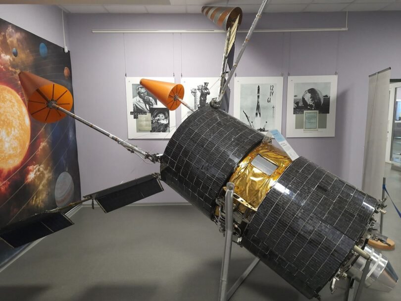
Communication satellites are relaying weather data that sharpens local forecasts, carrying measurements from ocean buoys, mountain stations and aircraft into the models forecasters use to predict tomorrow’s rain street by street. Modern forecasting depends on volume, because a model is only as good as the observations fed into it, and vast areas of ocean and remote land would report nothing at all without satellites collecting and relaying their readings around the clock. Newer satellites add their own instruments to the relay role, scanning clouds, sea surface temperatures and atmospheric moisture in detail that older generations could not match, then beaming the results down within minutes instead of hours. Forecasters say the practical difference shows in the warnings people actually receive, with heavy rain bands, fog and coastal gales now tracked more accurately through the night when ground observers are few and the weather is changing fastest. The same relay networks serve ships, aircraft and emergency teams, passing distress signals and operational messages from places no mobile mast will ever reach in any realistic building programme. Behind the familiar weather app on a phone sits this largely invisible orbital infrastructure, maintained by international partnerships that share data openly because weather respects no border and every country’s forecast improves when observations flow freely between the agencies that collect them worldwide each day.
What the Evidence Shows
Engineers who operate the satellites plan for failure as carefully as for success, keeping spare capacity in orbit so a single fault does not silence a whole region’s observations during the storm season when they matter most. Ground stations on several continents receive the data in rotation as each satellite passes overhead, a choreography that has run so reliably for so long that its complexity is easy to forget entirely. Forecast accuracy gains are measured honestly over years, comparing predicted rainfall and temperatures against what instruments recorded, and the long trend shows steady improvement that researchers attribute in large part to better satellite observations. Local forecasts benefit unevenly, with coastal and mountain areas gaining most because their weather changes fastest and observations there were sparsest before the current networks matured. Climate researchers use the same archives differently, reading decades of consistent satellite records to track changing cloud patterns, sea temperatures and storm behaviour across the planet. For the ordinary user checking whether to carry a coat tomorrow, all of this effort resolves into a small, confident icon on a screen, the visible tip of one of the most successful scientific collaborations humanity operates above its head every day. Reporting and analysis from sources such as Wired track the same developments, and specialists following satellites relay weather data for sharper forecasts say the direction is now consistent across independent lines of evidence.
The Wider Context
The wider context is an industry learning to ship capability and restraint together. Products built around satellites relay weather data for sharper forecasts now launch with safety evaluations, usage data and rollback plans as standard, because enterprise buyers and regulators ask for them in the first meeting. Companies that treated those questions as friction are discovering they have become the purchase criteria.
What Happens Next
What happens next for satellites relay weather data for sharper forecasts depends less on another breakthrough than on the unglamorous work of reliability, pricing and support. The buyers evaluating it now are not enthusiasts; they are operators with budgets and auditors, and their checklists will decide the timeline. On the evidence of the current pilots, the technology has earned the right to be judged by them. You can follow related developments in our coverage of technology.






Leave a Comment